News
Destructive winds bring ‘risk of tornadoes’ as severe storm heads towards Western Australia

Senior meteorologist Sarah Scully says high-octane thunderstorms could cause damage with locally destructive winds exceeding 75 miles per hour, coastal hazards and even a risk of tornadoes on Saturday evening.

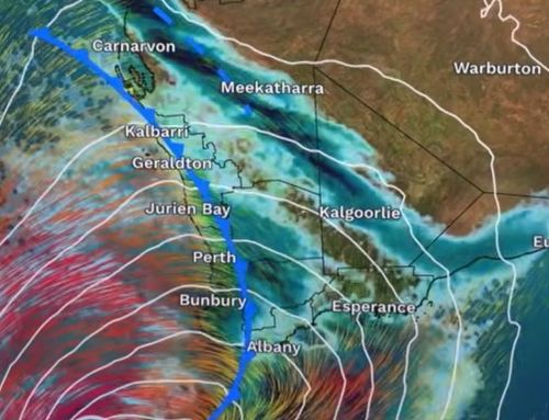
“This risk is expected to continue through Sunday morning, and any tornadoes that form will be very short-lived and very difficult to track,” Scully said.
The affected area could spread this weekend as it is an “evolving weather event”, the agency says, but the affected area currently extends from Kalbarri to Bunbury, including Perth, which is expected to be damaging with locally destructive winds, meaning gusts in excess of 125km/h.
However, once those pass, there’s another wave of high winds to watch out for, she added.
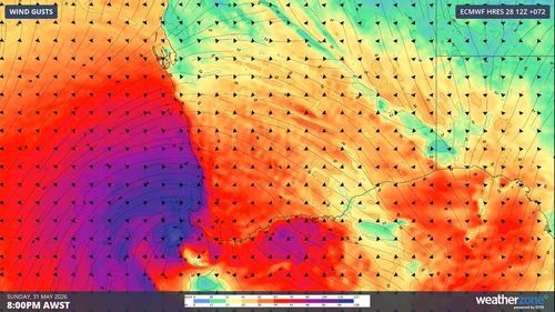
“The strongest winds are expected [a] low-pressure system that will push southwest Sunday evening,” Scully said.
“Widespread destructive winds are expected to extend along the west coast and push south-west where they will continue until the early hours of Monday morning before that low-pressure system takes a turn, while winds over the south-west decrease and are instead concentrated over the south coast.”
The warning for Australia’s west coast comes after the cancellation of a severe storm warning on the east coast, where heavy rain and gales lashed parts of the country.
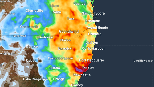
The coasts of Queensland and NSW, as well as regions further inland, experienced drenching this week, caused by a low-pressure system off the coast.
Falls of up to 80mm were recorded in south-east Queensland, and up to 70mm in NSW to the central coast, with the storm warning covering the Mid North Coast, Hunter, North West Slopes and Plains and Northern Tablelands districts.
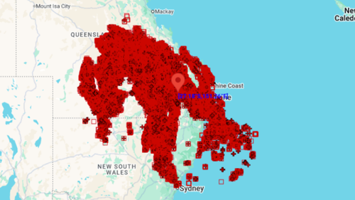
Weatherzone’s lightning detector showed 460,000 lightning strikes within 800km of Dalby in southern Queensland in the 24 hours to 9am yesterday.
By the weekend, forecasts for both Brisbane and Sydney show sunshine on the horizon, with temperatures peaking around 20 degrees.
But a new cold front is approaching the southeast of the country on Saturday.
As a result, showers will increase across South Australia, Victoria, Tasmania and inland New South Wales, with colder southerly winds behind that system.