News
Snow, high winds and rain heading to multiple states in early taste of winter
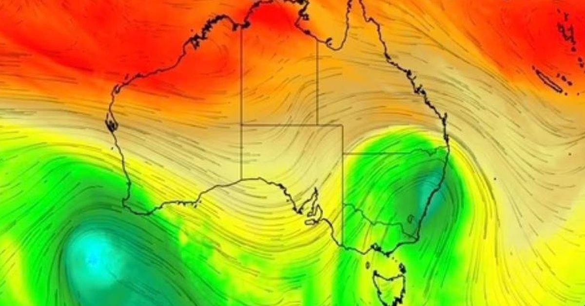
Millions of people in south-eastern Australia can expect an explosion of wintry weather next week, including high winds, snow and rain.
The first has started to spread across southern parts of Western Australia and South Australia before reaching the south-eastern states from early next week.
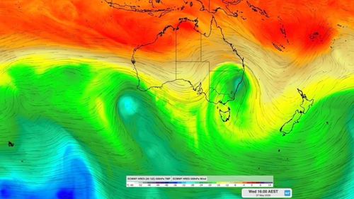
That will be followed by a second one expected to reach the south-west of the country around Wednesday or Thursday.
“While the rain will not be too heavy when the first system crosses WA and SA later this week, there is a chance of heavy rain and severe weather over south-east Australia next week as it creates a low-pressure system,” forecasters say.
Some computer models of the forecast conditions indicate heavy rainfall will develop over parts of Victoria, NSW and Tasmania on Tuesday and Wednesday. But parts of these states could also experience thunderstorms, snow and high winds.
Meteorologists say it is too early to say what the precise strength and timing of the new weather system will be.
There are already signs of a major change in weather conditions in the southeastern states.
The Bureau of Meteorology today issued damaging surf and wind warnings for the NSW north coast, urging people to avoid the seas and beaches for the next few hours.
NEVER MISS A STORY: Get the latest news and exclusive stories first by following us on all platforms.